Marketing · AI Analytics Assistant
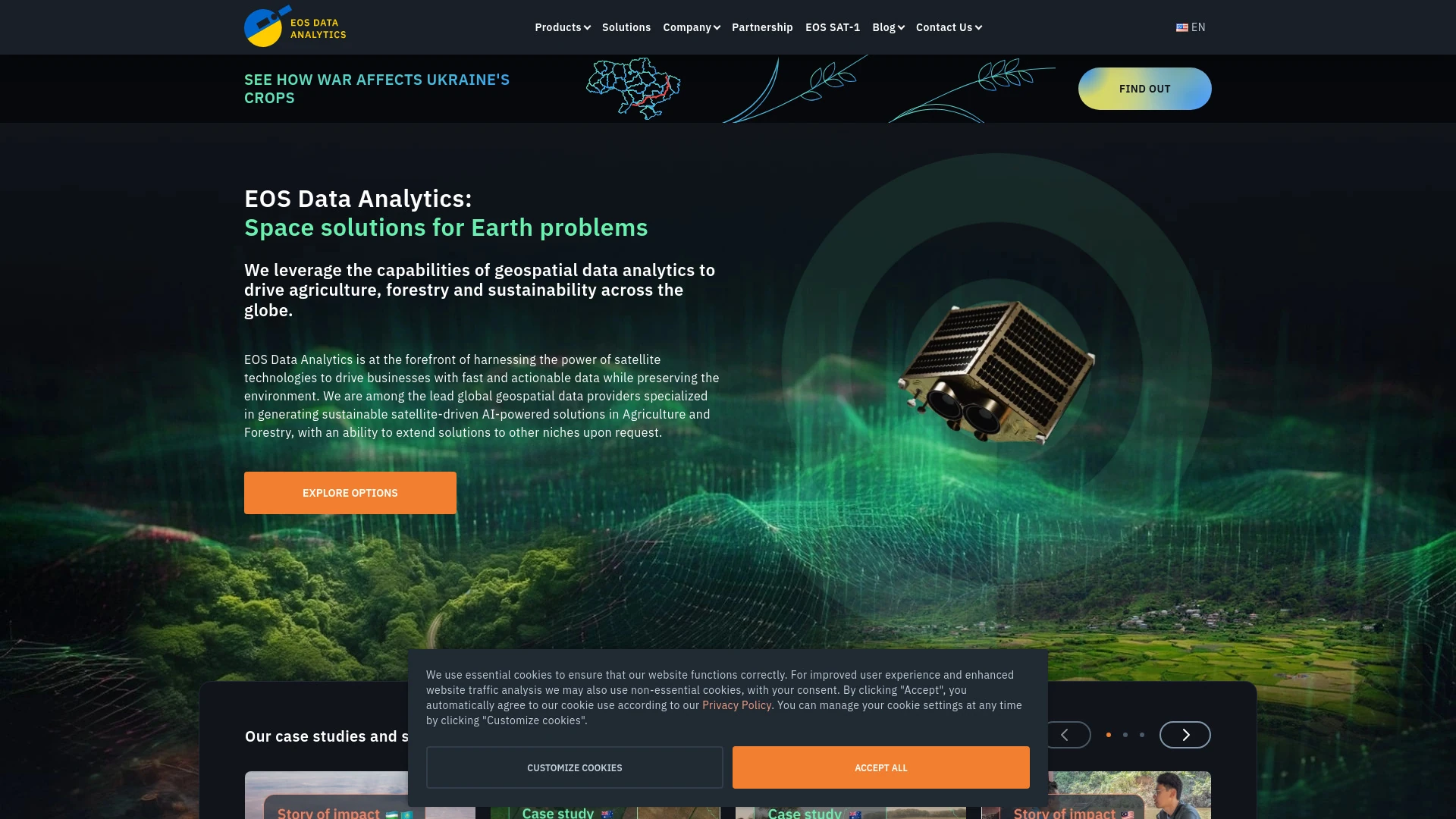
EOS Data Analytics
Global AI-powered satellite imagery analysis provider
- Website
- eos.com
- Category
- Marketing › AI Analytics Assistant
- Platforms
- website
About EOS Data Analytics
Integrate satellite API to get fresh images, field metrics, and weather data at scale. Ideal for agtech, GIS, and environmental monitoring tools. Satellite API — Fast and Easy Access to Raw and Processed Data Get direct access to satellite imagery and geospatial analytics through our high-performance API. Stream real-time data into your platform effortlessly. Backed by years of hands-on experience in satellite-powered solutions, we build scalable, ready-to-integrate tools for a wide range of industries, including: An API (Application Programming Interface) is kind of bridge that links different software systems, allowing seamless information exchange through code. Forget downloading and manual processing — our satellite image API brings data directly to your tools and workflows. Here's what you get:
Features
PRODUCTS & SOLUTIONS EOS RayVision LandViewer Crop Monitoring Solutions High-resolution satellite imagery EOSDA API Connect Satellites
COMPANY About us Max Polyakov Philosophy Space infrastructure Sustainability commitment Careers Contact us
EXPLORE Blog Case studies Stories of impact Crop management guide Satellite imagery gallery Newsroom EOSDA events FAQ